Renewable potential assessment
Contact us
Send a messageOverview
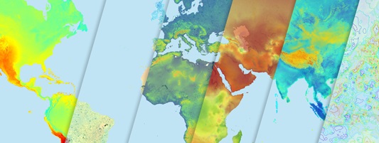
The Global Atlas for Renewable Energy is a free web-based platform that provides users with data and tools to assess their renewable energy potential.
The initiative, coordinated by IRENA, is aimed at closing the gap between countries that have access to the necessary data and expertise to evaluate the potential for renewable energy deployment in their countries and those that lack these elements.
In the past ten years, the initiative has brought together more than 50 highly skilled international research institutions to share over 700 renewable energy maps on this single and consistent platform covering solar, wind, bioenergy, geothermal, hydropower, and marine energy.
Reach out to Global Atlas at IRENA to contribute data, expertise or to promote the Global Atlas initiative.
User guidance
The platform allows its users to display and overlay different renewable resource, ancillary datasets like any simplified GIS software.
The Global Atlas for Renewable Energy (the platform) allows its users to:
- display and overlay different renewable resource (solar, wind, hydropower, bioenergy, geothermal and marine data) and ancillary datasets (transmission and road networks, protected areas, population density, and topography) like any simplified GIS software;
- link with other platforms, systems or software for purposes of conducting comparative analyses;
- conduct specific mapping functionalities to screen areas of opportunity where further assessments can be of relevance; and
- download data over identified areas of interest for conducting further analysis in their own software.
On the “home” page, the settings section has two sets of parameters: point query and layer query.
In the Point query, users can retrieve any renewable and/or ancillary data on the workspace by specifying the geographical coordinates. The platform responds to the user interaction via the resource and geographical location fields.
In the Layer query, users can retrieve any renewable and/or ancillary layer on the workspace by specifying the search criteria (keywords and use). The platform responds to the user interaction via further implemented geospatial functionalities, such as edit, clip, draw, and save.
Users are advised to register (or sign in) on the Global Atlas to get more benefits of the platform; and familiarize themselves with the “help”, “terms & conditions”, and “about” pages to learn more about the Global Atlas, its partners and data providers.
Trainings and videos
IRENA provides a variety of training tutorials and webinars for public users covering the Global Atlas for Renewable energy.
Acknowledgements
The IRENA Global Atlas is an initiative developed in partnership with the Clean Energy Ministerial Multilateral working group in 2012.
IRENA acknowledges all the public and private partners and data providers for their continued support in making the Global Atlas for Renewable Energy a unique platform. The Agency also acknowledges its membership for their continuous support toward this initiative.


